Friday 23 June 2017

The Strawberry Line - Cheddar to Axbridge to Winscombe


The recent heatwave put a stop to long walks along the beach or in the countryside - in fact stepping foot into the garden even proved too hot at times.   Once the temperature dropped back down to the 20s the footpaths beckoned and it was time to set off again.  At present The Strawberry Line runs from Yatton to Cheddar but as time goes on it is hoped to open up the whole 30 mile route from Clevedon to Shepton Mallet. 
My own walk this week started with a bus ride from Weston to Cheddar.  It is an hourly service which runs between Weston and Wells through the beautiful Somerset countryside and villages/towns of Banwell, Winscombe, Axbridge and Cheddar.  The 9am bus arrived at Cheddar at 9.55 and the area was deserted.  A few cafe's showed signs of life but most of the touristy shops had signs declaring that they opened at 11am.  No doubt this will change in a couple of weeks once the holiday season really begins.  For now it was just pleasant to enjoy the peace and tranquility.


Toilet facilities are available in the complex at Dag's Hole and in Cliff Street.


The Strawberry Line footpath/cycle way begins on the outskirts of town at the back of a small industrial complex. The entrance can be seen to the right of the following photo:


I have to admit that the first section was very uninspiring - just the back alley to a housing estate but then it could only get better.


Oh dear, perhaps I spoke too soon.  At the end of the back alley were big signs saying the footpath was CLOSED.  Diversion signs pointed up to a road.  That was fine but past experience has taught me that diversion signs can disappear mid way along a route.  There was no indication as to what route the diversion took or how far out of the way it might take me.  Did I have the nerve to chance it?  Well I had come all this way so it would be pretty silly to give in now.  I would try the diversion and if I felt uncomfortable at any point then I could always retrace my steps.


As it happens I have to give credit to Bristol Water.  The diversion route was very well sign posted and actually took me right up to Cheddar Reservoir.  I did not know that there was a footpath running around the perimeter of the reservoir so this information has been filed away for future use.  As the photo shows it was a cloudy morning and showers threatened but thankfully the rain stayed away.


Back on the original path I find the route runs through fields a few hundred yards back from the reservoir.  Picnic areas and benches are provided along this section giving wonderful views.


But all too soon I reached the outskirts of Axbridge. 


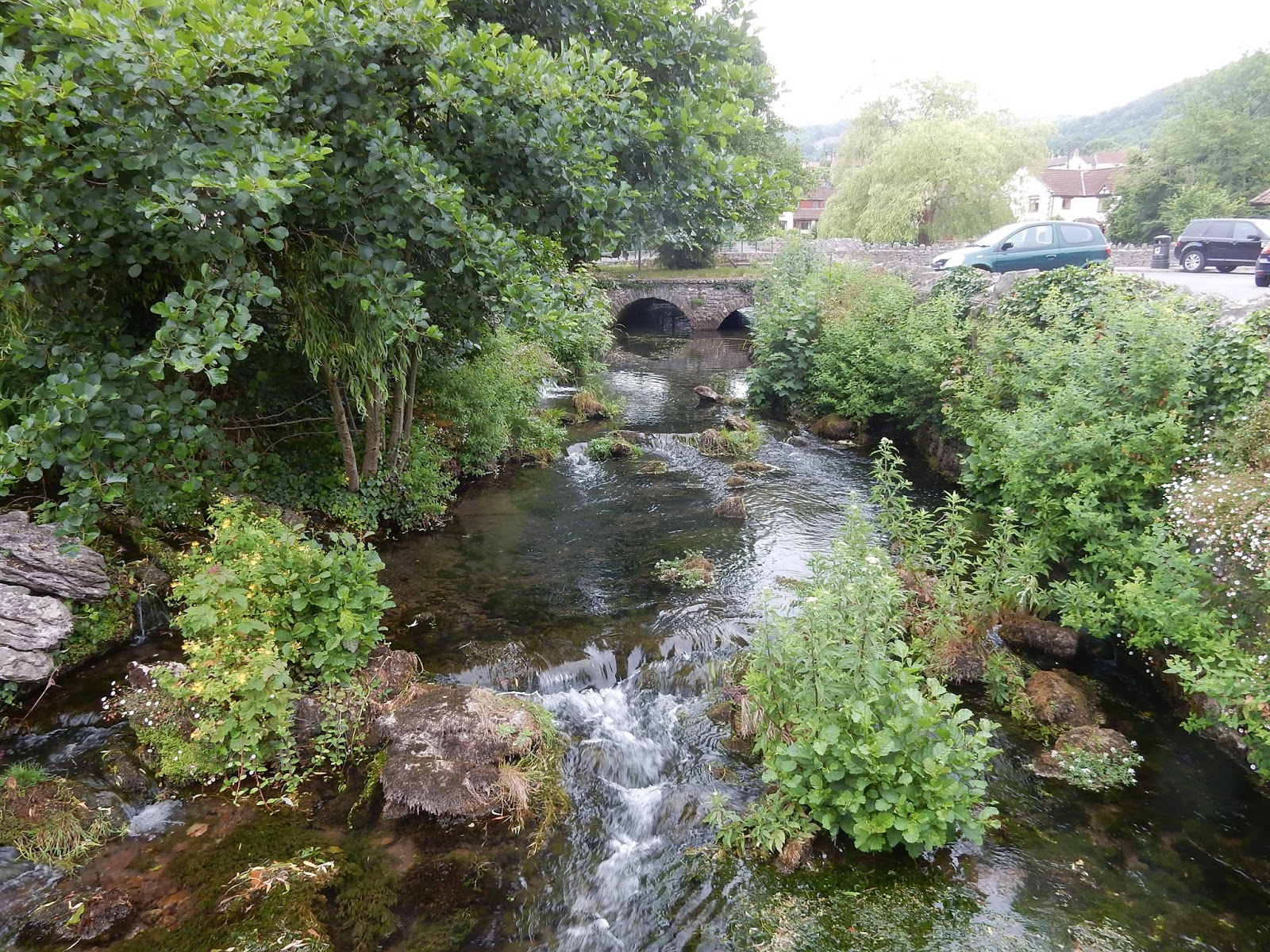
The next couple of miles of the route runs along streets leading into the centre of town.  A beautiful ancient medieval market town with old wooden buildings leaning over the narrow streets.


The perfect place to have a break.  I can highly recommend the The Almhouse Tea Shop (opposite King John's Hunting Lodge) which has seating on two floors plus a tiny outside courtyard area.  Delightful setting with delicious menu of sandwiches and paninis.  Also doggy friendly!


Setting off again I made my way up to the main road where I needed to find the footpath leading out of town.  Once again very well sign posted.  But a word of warning - this section is uphill!!


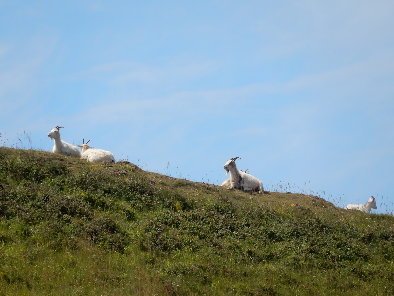
The Strawberry Line now meanders through beautiful countryside with stunning views.  Might that be Glastonbury Tor in the distance?


Very occasionally one stumbles across another lone walker taking a break


The next sector map showed that Shute Shelve Tunnel was coming up


I have to admit that I was NOT ready for this part of the route.  The signs warn that cyclists should put their lights on.  What about walkers?  I admit that I carry a lot but I had never thought to pop a torch in the bag!  


Apparently the tunnel is home to several species of bats and (wait for it) rare cave spiders!!!!  No alternative but to take a deep breath and go for it.  A sign near the entrance instructed one should keep to the left and I did just that.  The only lights inside were a line of dim lights running along the centre of the floor.  I obeyed instructions keeping to the left of these.  Cripes, a third of the way in it became incredibly dark.  Thankfully I was picking my steps carefully because all of a sudden I bumped into what felt like railings sticking out from the wall.  If I had been a cyclist they could have thrown me off the bike.  Thank goodness the little dot of light which was the exit was getting larger with every step.  This was a little too like the Railway Children for my liking!


A group of workmen were gathered at the far exit and as I emerged blinking at the bright light of day they laughed as I said "That was some EERIE experience"!  It was a delight to be out in the fresh air and only another mile and a half to Winscombe.


Looking at my watch I saw that a bus was due in 15 minutes.  I decided to call it a day and continue with the next, very short, section to Sanford at the weekend.  Winscombe Parish Council took over and refurbished the public toilets back in 2014 when the council announced they would be closed.  A big thank you to the good people of Winscombe!  The toilet block is just down a pathway from The Strawberry Line.


Thursday 15 June 2017

Burning the calories between Brean and Burnham


Today's walk starts off at Brean Village Hall where I find a footpath running up from behind the bus shelter & public conveniences. The going is difficult slipping and sliding on the soft sand but I make it to the top and am greeted with the sight of the beautiful beach.


It's really blustery today so my sunhat has to be tucked away in my bag.  The goal today is to walk the 6-7 miles from Brean to Burnham-on-Sea.  This part of the Coastal Path is all along the beach and is the second longest stretch of sand in Europe. How wonderful seeing it stretched out before me.  Nothing but sand and sea with a brilliant blue sky above.


As with yesterday it is not long before I spot those monsters of the deep.  Huge, huge jelly fish beached on the sand.  Honestly, the beach is virtually littered with the creatures.   My mind goes back to childhood and the TV series of Quatermass!


A couple of miles further on & I meet a horse and rider.  Forget about the view.  Forget about the waves pounding on the beach.  Forget about everything except the Smartphone.  What a world it is that we live in!!


The waves certainly show how blustery it is today - churning up the soft sand and turning the sea a muddy brown. 


Good job I purchased a take away coffee in Costa before boarding the bus in Weston because there are no coffee shops here.  Oh but wait a moment - what is that ahead?  It's certainly no match for Costa Coffee or Starbucks but I suppose it would do if you were desperate.


As I glance across the bay I can make out the hazy shape of Hinkley Point C - the new nuclear power station.  Such a blot on the landscape.  Those of us who live on the north coast of Somerset wouldn't stand a chance if that suffered a melt down. I wonder whether I would need to revert to teachings from the 1960s when those of us working in London were told that in the event of a nuclear attack we should shelter under a tin bath in some large open space!!!!  Honestly, I kid you not.


Today all I have to shelter under is my hoody!


As I walk I am mesmerised by the light sparkling on the wet sand.


So much so that before I know it I find I am in deep s**t.  Without realising I have walked into a trough of very wet sand and it is quickly oozing up over my shoes.  Cripes, the last thing I need is to get stuck in sinking sand!  I manage to squirm my way to safety but my shoes tell all!


The scenery is really magical but from now on I MUST concentrate on where I am and where I am going.  No more getting lost in my own little world.


After one and a half hours I spot Burnham in the distance.  


The first sign of getting back to civilisation is when I pass the old Lighthouse on stilts.  This was built way back in 1832 but still stands firm against the winds.


 Having reached Burnham-on-Sea it is now time for me to leave the beach.


And head off along the Prom towards Britain's shortest pier.  I know that a few yards further down the Esplanade can be found Burnham's public toilets.   These are free, unlike those in Weston-super-Mare.


The No. 20 bus stop is at the top of Pier Street and after my two hour walk I am more than ready to flop onto the bus.  How lucky I am to have a walk such as this just a bus ride away from home.  I shall do this walk again - after the influx of holiday makers have left!


Wednesday 14 June 2017

Along The Flats and Up The Down

The Carrot Bus Shelter, Weston super Mare
Having put on half a stone in weight over the winter the time has come for a few early summer walks along the Somerset coast.  Perfect timing - just before the schools break up and the onslaught of holiday makers begins.  The weather has also picked up so there is nothing to stop me.  All I have to do is set my mind to getting out and about rather than sitting and researching at my computer.

Yesterday's outing started at The Carrot Bus Shelter in Weston super Mare where I caught the No. 20 bus to Brean Village Hall.  The half hour bus route meanders its way through the twisty narrow lanes of Lympsham passing delightful old farm houses on the way.  What a relaxing way to start the day.


A couple of months ago I was fortunate enough to acquire a couple of old photograph albums on eBay.  All that was known about them was that they captured scenes of farm life somewhere in Somerset towards the end of the First World War.  After much research I narrowed the locations down to Lympsham and Brent Knoll.  How wonderful to now be travelling along the same lanes and be looking out over the same fields as shown in those old photographs.

 
Alighting from the bus as Brean Village Hall I set off along Warren Road in search of a footpath which will take me up and over the sand dunes onto Berrow Flats.  I find a track at the back of a car park and make my way up.  The soft sand makes the going very difficult and my right ankle (still recovering from injury) complains bitterly at being strained with every step.

 
But it is well worth the effort.  When I reach the top and slide down the dunes on the other side I am greeted with the wondrous sight of an almost deserted beach.  On the right a couple of miles up to Brean Down and The National Trust Cafe.  On the left 6 miles up to Burnham. 


The only people I can see are a couple of elderly ladies walking their dogs and a friendly beach warden engaged in picking up other people's rubbish.


Being a loner this deserted beach looks like heaven on earth to me and I set off at a brisk pace towards Brean Down.  My ankle thanks me for making for the wet sand which provides a modicum of support whilst cushioning the impact of footfall.  Pounding for miles along concrete pavements does little to improve an injury.  As I walk along the clouds began to melt away leaving the sun to sparkle on the receding sea. 


Peaking out from behind the sand dunes I can see the tops of caravans and holiday chalets.  What a wonderful location - bet it costs the earth to own one of those!  40 minutes later I reach the end of the beach and treat myself to a pot of tea from the cafe.


Sitting on the beach side deck I relax whilst watching a young man collect seaweed from the beach.  At first I think it might be winkles that he is after but the photos show that he has seaweed in his hand.  These days this natural product is much in demand by chefs.  I wonder whether it will be sent to one of the prestigious London restaurants - or stay here in Somerset.


The elderly lady at the next table strikes up a conversation with me. She lives in Wincanton with her husband and they have been on a short break with their daughter.  Unfortunately the past few days have been far too windy for them to enjoy the coastal views so they are making the most of this morning before travelling back home.  I ask whether she knows Horsington where my father's family originate - of course she does.  In fact one of her daughters had her reception in The Half Moon Inn which is almost opposite Lower Lodge where my Gran spent so many years of her life.

Lower Lodge, Horsington - October 1969

Rested and watered it is now time to set off for the very steep climb up the side of Brean Down.  But the sun is shining brilliantly and I realise that, stupidly, I have left my sunhat at home.  A quick visit to the National Trust Shop sorts me out with suitable headgear. 


That leaves just one more mission before setting off on the climb - a trip to the loo.   The cafe complex, of course, comes provided with a purpose built toilet block.  Thank goodness.  It is also FREE to use!


No putting it off any longer - those 150+ steps just have to be tackled.


Thankfully resting places are provided at several points on the way up so it does not have to be negotiated in one go.  Perfect places to catch my breath and take some photos of the view down to the beach.

Here is the sight as I approach the top of the world.  I hope the world IS round otherwise I could topple off when I reach the last step.


From a previous walk two years ago I know that the most picturesque route to The Fort is along the grassy footpath which climbs and falls over the ridges of various hills. 


With a dodgy ankle I decide that I had better be sensible and make for the old military cinder track instead.
 
Glorious views back over the bay towards Weston certainly make the climb well worth the effort.


Wow, I really do feel as if I am on top of a mountain.  Look - up on the ridge are a herd of goats enjoying a siesta.

At the end of The Down lies the old military fort.


The remains that we see here are of buildings built in the 1860s.  It was one of a chain of fortifications known as Palmerston's Forts designed to protect us from the French - but its history actually dates way back to the Iron Age.  On top of the furthest point can be seen the old Searchlight Tower.


Sitting atop one of the outer walls of The Fort proves the perfect place for my picnic lunch - a homemade eggy sarnie washed down with a bottle of water.  Then its time to set off back along the cinder track - taking the route all the way down to the bottom as I know my ankle will not cope with descending those steep steps.  On the final stage of the track I pass this very pretty gate with very ugly padlock.  I wonder what those steps lead up to?


The cafe beckons once again and I stop for another pot of tea before heading back up the beach to Brean Village Hall.  The tide has taken the sea way way out and suddenly I notice something very strange.  There on the beach is a HUGE lump of jelly.  I try to work out whether it is some sort of transparent Frisby but come to the conclusion that it must be a dead jelly fish.  Cripes, how pleased am I that I am not a swimmer!


Finding the footpath exit off the beach proves far more difficult than I had imagined as one sand dune looks just like the next.  In the end I take a narrow path that proves to be a few metres along from that where I had entered.  I arrive at the bus stop in good time for the next bus and am delighted to find some Public Conveniences in a little building behind the bus shelter.   Perhaps not so well appointed as those in the National Trust complex but still FREE and when you have to go you have to go.


When I return home and look at my FitBit pedometer it tells me that I have walked over 9 miles during the course of the day.  Surely that will have taken a couple of pounds off my weight!